Juan Alberto Molina-Valero
Exploring the use of remote sensing technology to monitoring forests

About me
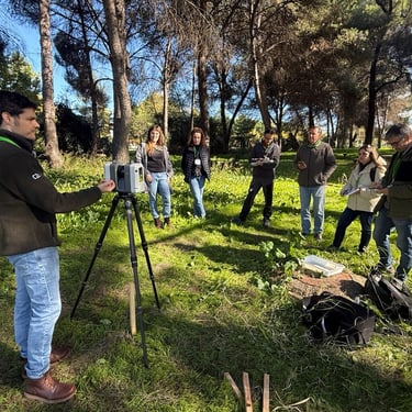
As a researcher dedicated to understanding these stories, I’ve spent years delving into the intricate dance between technology and nature. My work centers around forest modeling and monitoring, alongside the sophisticated analysis of point cloud data captured by terrestrial LiDAR devices. These advanced tools allow us to visualize forests in unprecedented detail, revealing structures invisible to the naked eye.
But I didn’t stop there. The creation of the R package FORTLS marked a milestone in this journey—a tool that automates the complex processing of ground-based point cloud data, turning raw information into actionable insights. This package empowers researchers and foresters to move beyond data collection, diving straight into understanding forest dynamics and health.
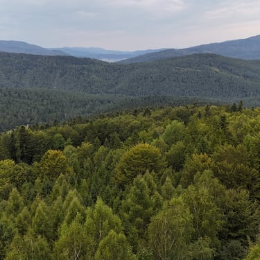
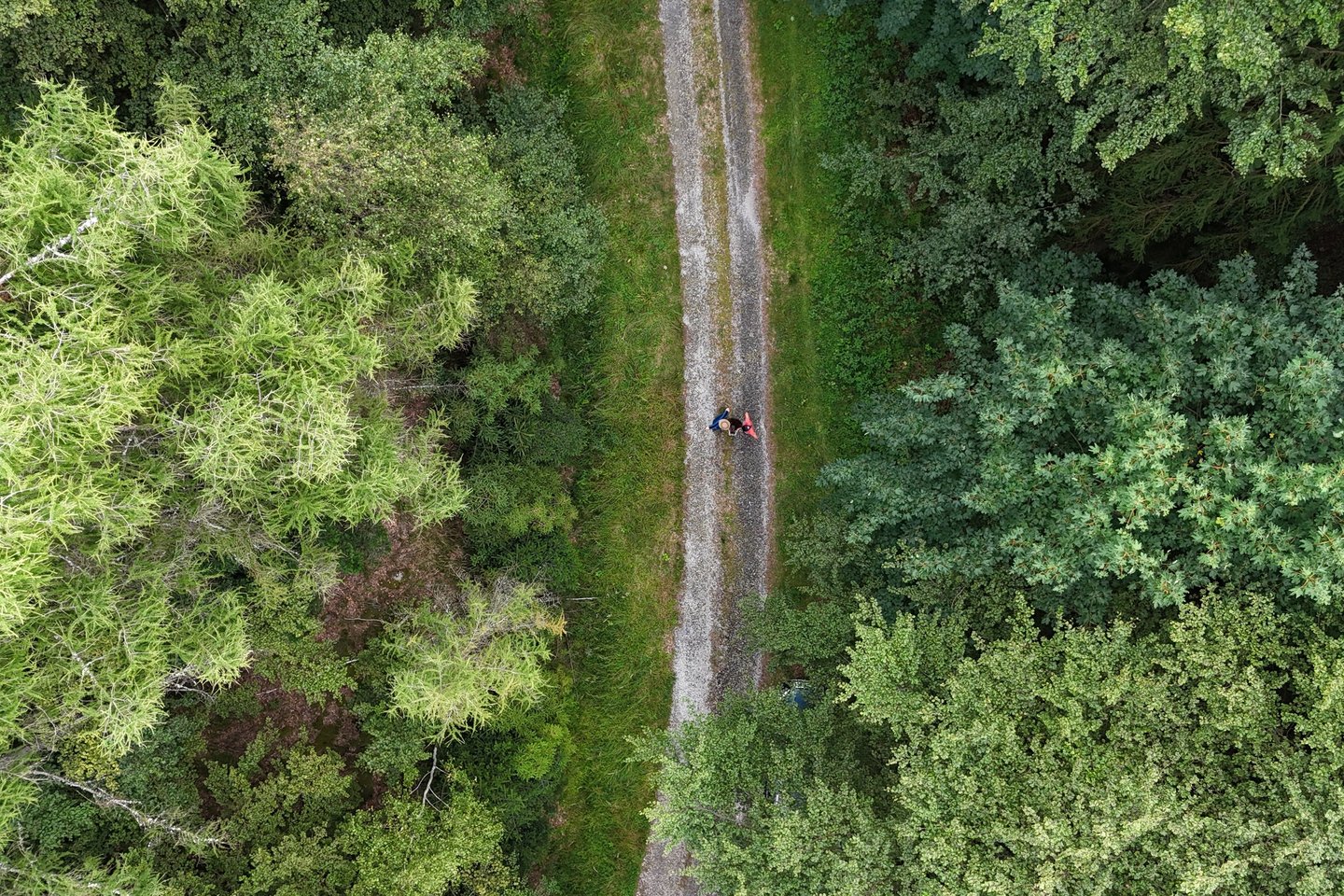
Yet, in the quest for comprehensive forest monitoring, looking solely from the ground isn’t enough. To see the bigger picture, I’m integrating additional remote sensing platforms, from drones that hum softly above the treetops to light aircrafts and the silent sweep of satellites. By weaving in aerospace radar technology, I aim to bridge the gaps, scaling up the spatial and temporal reach of forest observation.
Each data point, each sweep of a LiDAR beam, tells a story. And with these technologies combined, we’re not just monitoring forests—we’re redefining how we see them, ensuring that every tree’s story is heard and preserved for the future.
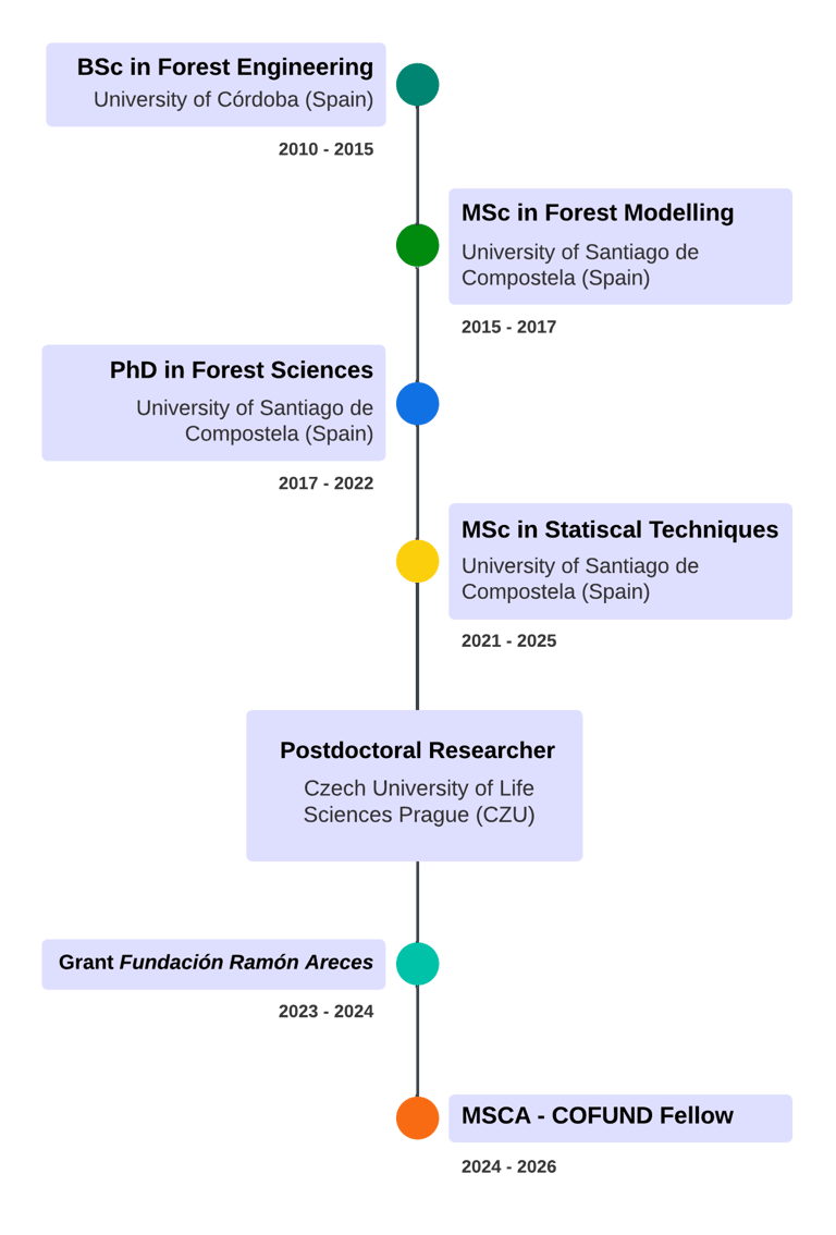

My profesional journey
