
Operationalizing the use of TLS in forest inventories:
The R package FORTLS
The R Package FORTLS
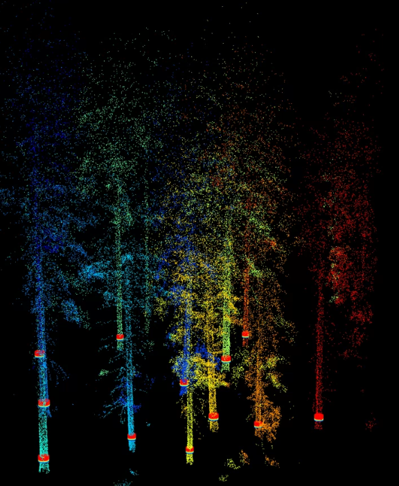
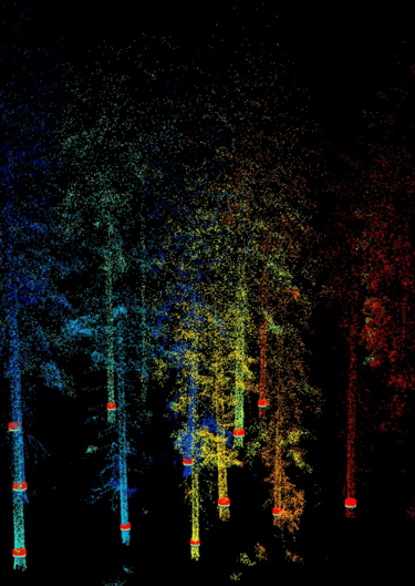
Automatic Processing of Ground-Based Technologies Point Cloud Data for Forestry Purposes
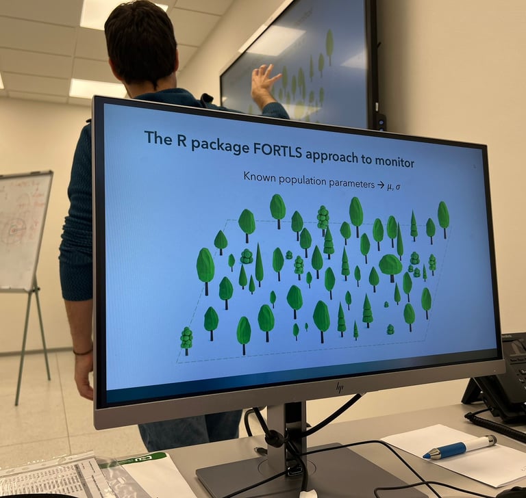
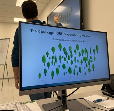
Process automation of point cloud data derived from ground-based technologies such as LiDAR (e.g. Terrestrial Laser Scanner and Moblie Laser Scanner, TLS and MLS resectively) or photogrammetry. FORTLS enables (i) detection of trees and estimation of tree-level attributes (e.g. diameters and heights), (ii) estimation of stand-level variables (e.g. timber volume), (iii) computation of metrics related to important forest attributes, and (iv) optimization of plot design in forest inventories.
Scientific achievements related with FORTLS


Publications
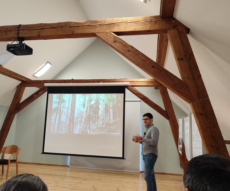
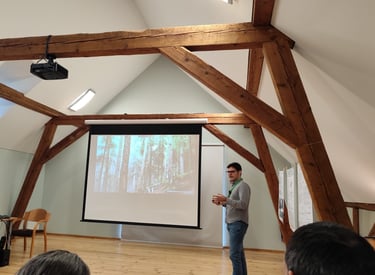
Conferences


Book chapters
Videos


Training material
In this section, you will find resources to help you get started with FORTLS software. These materials are designed to guide you through the setup, features, and best practices, ensuring a smooth and efficient start. Explore the links below to dive in!
Workshops where the use of FORTLS has been taught
Projects and funding


Design of forest monitoring systems on a regional scale [ED431F 2020/02]


Supported by the Regional Government of Galicia
Climate Change Adaptation of Forests in the Brdy Highland
Central Bohemian Mobility for Excellence in Research, Innovation and Tecnology (MERIT - Grant Agreement No. 101081195)